 PlaceBee
Introduction to AI-Powered Drone Hiking in 2026
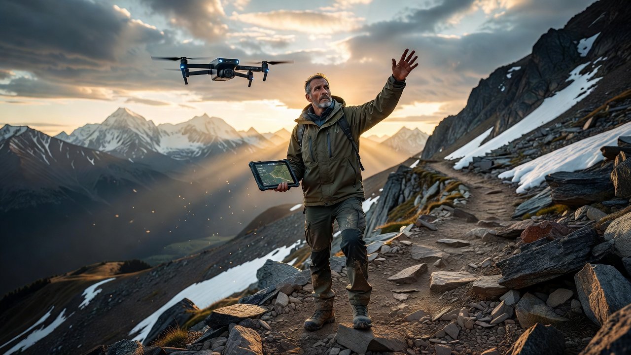
Extreme hiking adventures demand precision, safety, and real-time intelligence. In 2026, AI drone guides integrate machine learning, obstacle avoidance, and live mapping to transform remote trails into manageable, thrilling experiences. These systems enhance situational awareness while supporting extreme sports safety protocols for solo explorers and groups alike. Hikers no longer rely solely on paper maps or basic GPS watches; instead, drones equipped with advanced AI can scan ahead for hazards, track weather changes, and even suggest optimal rest points based on biometric data from connected wearables.
Whether navigating rugged mountain passes or dense wilderness, AI drones provide aerial scouting that traditional methods cannot match. This comprehensive guide covers practical setup procedures, real-world applications from remote locations, detailed gear recommendations, risk mitigation strategies, platform comparisons, and sustainability considerations to elevate your next expedition. By the end, you will understand how to integrate these tools responsibly while maximizing adventure potential.
Step-by-Step Setup for AI Apps and Drone Systems
Choosing Compatible Hardware
Start with drones featuring onboard AI processors for autonomous flight. Pair them with mobile apps that sync GPS data, weather feeds, and terrain analysis. Ensure your smartphone runs the latest operating systems for seamless integration. Look for models with at least 25 minutes of flight time and robust wind resistance ratings suitable for high-altitude conditions.
App Configuration and Calibration
Download official companion apps and create accounts linked to your drone serial number. Calibrate sensors in open areas before trail use. Enable geofencing to respect no-fly zones and program return-to-home functions based on battery thresholds. Update firmware regularly through the app to access the latest AI improvements for object recognition and path planning.
Integration with Hiking Wearables
Connect heart-rate monitors and GPS watches to the drone ecosystem. This allows the AI to monitor your vitals and suggest rest points or reroutes during high-intensity segments. Test the connection in a controlled environment to ensure data flows accurately without lag.
Initial Test Flights and Permissions
Before heading to remote trails, perform several test flights in familiar parks. Obtain necessary permits if required by land management agencies and review local aviation rules through official resources such as the Federal Aviation Administration.
Real 2026 Examples from Remote Trails
In the Patagonia region, hikers used AI drones to scout ice fields ahead of multi-day treks, identifying safe crossing points in real time and avoiding unstable terrain that had caused accidents in prior seasons. Similarly, on Alaska's remote Denali approaches, teams deployed drones for crevasse mapping, reducing exposure time in hazardous zones by nearly half according to expedition reports. In the Himalayas, a group tackling high-altitude passes near Everest base camp utilized AI-assisted drones to monitor avalanche risks during sudden weather shifts, allowing them to adjust routes dynamically and complete their journey safely.
These cases highlight how AI guidance turns unpredictable environments into calculated adventures. Another example from the Andes involved solo hikers relying on drone telemetry to locate water sources in arid stretches, demonstrating the technology's versatility across diverse ecosystems.
Gear Checklists for AI Drone Hiking
Preparing the right equipment is essential for success in extreme conditions. Here is a comprehensive checklist:
- Primary drone with 4K AI camera and 30-minute flight time, including propeller guards for safety
- Spare batteries and solar charging bank rated for cold weather performance
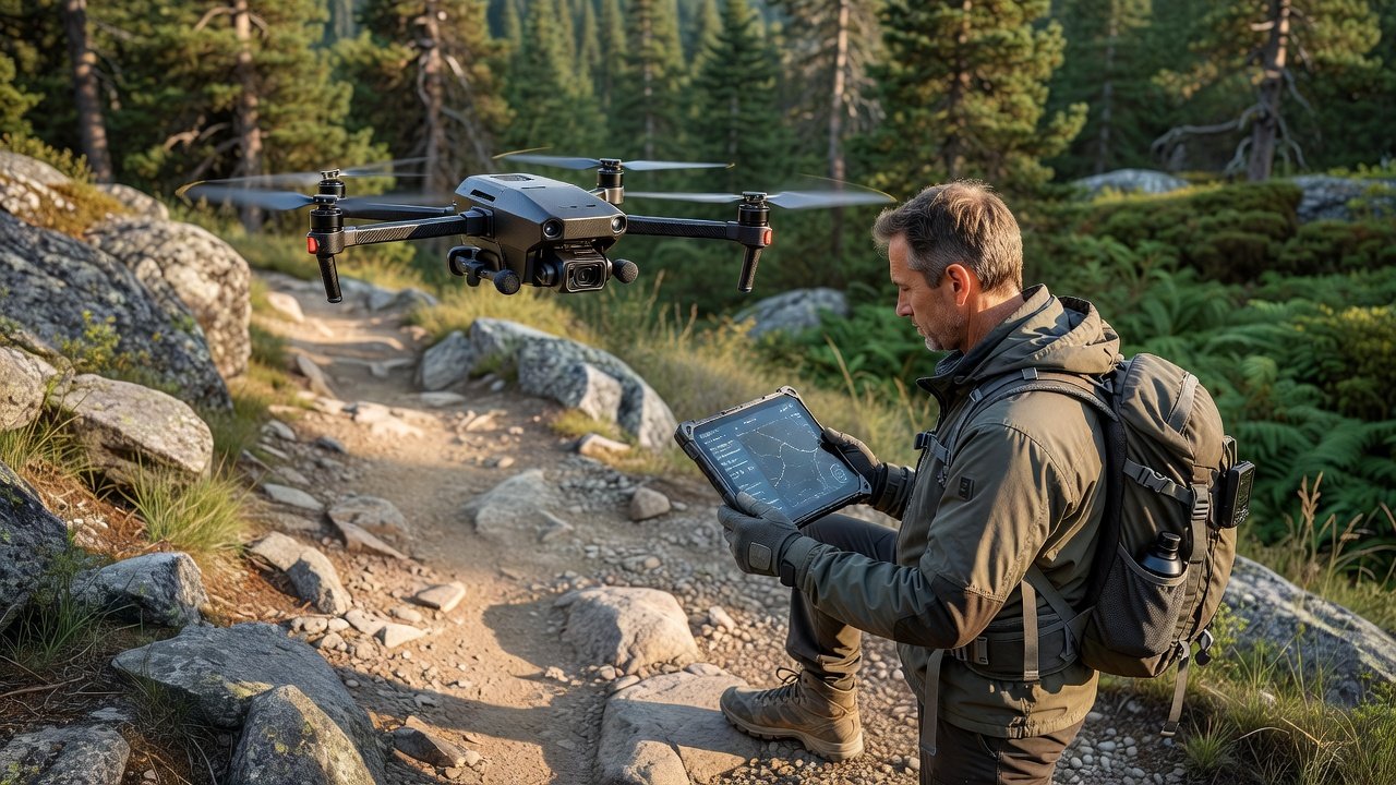
- Rugged tablet or smartphone with extended battery life for live feeds and mapping
- Protective case rated for extreme temperatures and impact resistance
- Emergency beacon synced to drone telemetry for rapid location sharing
- Lightweight tripod for stable aerial shots during scouting stops
- Extra memory cards and lens cleaning kit to maintain image quality
- Portable power station for recharging multiple devices on multi-day trips
Always verify each item functions before departure and pack backups for critical components.
Risk Mitigation Tips and Training Routines
Always conduct pre-flight risk assessments using app-based terrain simulations. Train weekly with virtual reality modules that replicate wind gusts and low-visibility scenarios. Practice manual overrides monthly to maintain pilot skills alongside AI assistance. Carry redundant communication devices and establish check-in protocols with a support team.
Common pitfalls include over-reliance on automation in sudden weather shifts. Build progressive experience by beginning on moderate trails before advancing to technical routes. Additional tips include monitoring battery levels closely in cold environments where performance drops and always maintaining visual line of sight even when using autonomous modes.
For training routines, dedicate time to scenario-based drills such as emergency landing procedures and obstacle avoidance exercises. Join local drone clubs for hands-on workshops that simulate real trail conditions.
Comparing Popular AI Drone Platforms
Leading options differ in autonomy levels and ecosystem compatibility. Some excel in long-range mapping while others prioritize compact designs for backpackers. Evaluate based on battery efficiency, AI object recognition accuracy, and software update frequency to match your hiking style. One platform may offer superior integration with fitness apps, while another provides better terrain-following algorithms for steep ascents. Review user reports from 2026 expeditions to identify which models performed reliably in extreme temperatures and high winds.
Consider factors like payload capacity for additional sensors and ease of transport in a hiking pack when making your decision.
Sustainability Angles for Adventure Travel
Responsible drone use minimizes environmental impact. Stick to established trails for launches and recoveries. Choose models with efficient motors to reduce energy consumption. Support conservation by sharing anonymized trail data with park services through official channels. This collective intelligence helps protect fragile ecosystems for future adventurers. Additionally, avoid disturbing wildlife by maintaining safe distances and follow Leave No Trace principles during all operations. Learn more about public land management from the Bureau of Land Management to plan ethical routes.
FAQs on Regulations and Common Pitfalls
What are the key drone regulations for hikers in 2026?
Remote ID requirements remain mandatory in most regions. Always verify local airspace restrictions via official apps before departure. Beginners should complete certification courses to understand visual line-of-sight rules and altitude limits. International travelers must check destination-specific rules well in advance.
How do beginners scale to advanced AI drone use?
Start with basic autonomous modes on familiar terrain. Gradually incorporate custom flight paths and data logging. Join community forums for shared experiences and avoid rushing into complex multi-drone operations without mentorship. Consistent practice builds confidence and technical proficiency.
What mistakes should new users avoid?
Neglecting firmware updates and ignoring wind forecasts top the list. Test all features in controlled settings and maintain physical fitness to keep pace with drone-assisted navigation demands. Another frequent error is failing to account for signal interference in dense forests or canyons.
How can hikers ensure data privacy when using AI drones?
Use encrypted connections and review app privacy policies carefully. Delete sensitive location data after trips and avoid sharing live feeds on public networks.
Conclusion
AI drone guides represent a powerful evolution for 2026 extreme hiking. By mastering setup, checklists, and sustainable practices, adventurers gain unmatched safety and discovery potential. Apply these insights responsibly to unlock remote trails with confidence and respect for nature. The combination of thorough preparation and ethical use ensures these tools enhance rather than detract from the wilderness experience.
No comments yet. Be the first!