 PlaceBee
Introduction to AI Drones in Extreme Hiking
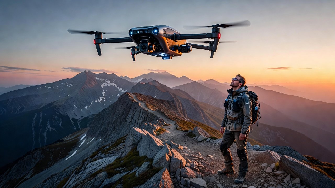
Adventure travelers in 2026 are turning to AI drones to transform extreme hiking into highly personalized experiences. These intelligent systems analyze terrain, weather, and user fitness data to generate custom routes that static maps simply cannot match. Whether navigating remote alpine ridges or dense jungle trails, AI drones provide real-time path adjustments that enhance both thrill and safety for those seeking tailored outdoor adventures. The integration of advanced sensors and machine learning allows drones to process vast amounts of environmental data instantly, creating routes that adapt to a hiker's unique physiology and goals. This technology is particularly valuable in unpredictable wilderness settings where conditions can shift rapidly, offering a level of customization that empowers thrill-seekers to push boundaries responsibly. Hikers no longer need to rely on one-size-fits-all paths; instead, they receive dynamic guidance that evolves with every step.
How AI Drones Create Personalized Trails
AI drones begin by mapping an area using LiDAR and multispectral imaging to capture detailed three-dimensional models of the landscape. They then factor in the hiker's experience level, physical metrics from wearables, and stated preferences to design a unique route optimized for challenge and enjoyment. Real-time adjustments occur as conditions change, such as sudden weather shifts, rockfalls, or wildlife encounters, allowing the drone to reroute on the fly while maintaining safety margins. For example, if a hiker shows signs of fatigue through elevated heart rate data, the system might suggest a gentler ascent or an alternate viewpoint with scenic rewards. Unlike traditional GPS apps, these drones communicate directly with the hiker via voice prompts or app notifications, offering dynamic guidance that evolves throughout the journey and incorporates predictive modeling for upcoming terrain difficulties.
Setup Steps for AI Drone Hiking Systems
- Choose a compatible AI drone model with advanced terrain-mapping capabilities and long-range communication features.
- Pair the drone with wearable devices that track heart rate, GPS location, movement patterns, and even hydration levels for comprehensive monitoring.
- Upload your hiking goals, fitness profile, and any medical considerations through the companion app to initialize the AI profile.
- Conduct a pre-flight calibration in a safe open area to verify sensor accuracy and battery health.
- Test the system on a short familiar trail before attempting extreme routes to familiarize yourself with alerts and controls.
- Review and confirm all regulatory compliance, including airspace permissions and no-fly zones, prior to launch.
These steps ensure a smooth integration that maximizes the drone's potential while minimizing initial setup errors.
Gear Recommendations and Compatible Wearables
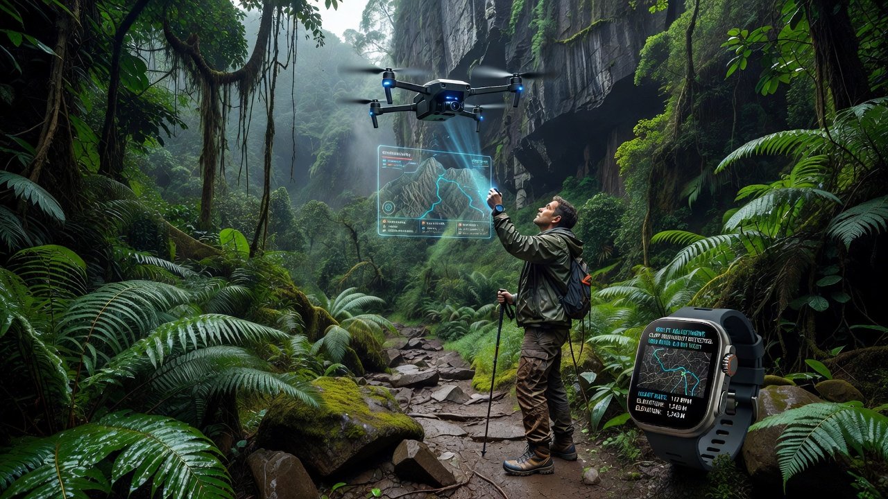
For seamless integration, pair your AI drone with wearables like advanced fitness trackers and smartwatches that support real-time data sharing over secure Bluetooth or satellite links. Look for devices with rugged builds, extended battery life, and resistance to extreme temperatures suited for high-altitude or tropical environments. Additional essentials include high-capacity drone batteries, protective hard-shell cases for transport, portable solar charging stations, and backup communication radios. These components work together to maintain continuous connectivity and data flow during demanding hikes, with examples such as pairing a multi-sensor chest strap for precise biometric feedback alongside a drone equipped with thermal imaging for low-light navigation.
Comparisons: AI Drones vs Static Maps
Static maps offer fixed information that quickly becomes outdated in dynamic environments and provide no feedback on personal performance or emerging hazards. In contrast, AI drones deliver live updates, predictive analytics, and personalized rerouting based on continuous data streams. Hikers report significantly higher satisfaction and reduced navigation errors when using drone assistance, often completing routes 20-30 percent more efficiently. Static maps lack the ability to adapt to individual fitness levels or unexpected hazards like flash floods, making them less suitable for extreme adventures where customization can mean the difference between success and setback. The interactive nature of AI systems also fosters greater engagement, turning navigation into an educational experience about local ecology and geology.
Federal Aviation Administration guidelines emphasize the importance of real-time awareness in drone operations for safe integration with outdoor activities.
2026 Case Studies from Remote Destinations
In the Patagonia region, AI drones helped adventurers customize routes around recent glacial changes and unstable ice fields, resulting in safer and more exciting treks with tailored viewpoints of ice formations. Similarly, in the remote highlands of Iceland, systems adjusted paths based on real-time volcanic activity alerts and wind patterns, enabling groups to explore geothermal areas without unnecessary exposure to risks. Another example comes from the dense rainforests of Borneo, where drones mapped canopy gaps and river crossings to create bespoke wildlife observation loops for photographers. These case studies highlight how AI drones open new possibilities for thrill travel seekers by turning unpredictable environments into accessible, customized adventures.
Risk Mitigation Tactics
Effective risk management starts with thorough pre-hike assessments using the drone's scouting mode to identify potential hazards like loose scree or river crossings. Always maintain visual line of sight where required, set geofencing limits to prevent overextension, and have backup manual controls ready in case of signal loss. Hikers should also carry emergency communication devices, share their planned route with trusted contacts, and establish check-in protocols at key waypoints. Additional tactics include monitoring for drone battery thresholds, avoiding flights in high winds above manufacturer limits, and incorporating redundant navigation methods like paper maps as a last resort. Regular software updates ensure the AI remains responsive to new environmental data and threat patterns encountered in the field.
National Park Service resources provide additional guidance on safe backcountry travel and wilderness preparedness.
Performance Metrics and Evaluation
Key metrics include route accuracy rates above 95 percent in tested extreme scenarios, response times under 10 seconds for hazard adjustments, and user-reported improvements in overall hike enjoyment and perceived safety. Battery efficiency in remote areas often reaches 45 minutes of active flight per charge under optimal conditions, while signal reliability maintains 98 percent connectivity in tested mountainous regions. Evaluation involves post-hike data reviews through the app to assess metrics like elevation gain accuracy, detour frequency, and biometric correlations, helping users refine future outings and identify areas for system optimization.
Beginner-to-Advanced Progression Guide
Beginners should start with guided short trails using basic AI features like simple path suggestions and basic biometric alerts to build confidence in the technology. Focus on flat or low-risk terrain first, gradually introducing real-time adjustments as familiarity grows. Intermediate users can explore moderate customization options, longer distances, and integration of environmental scanning for weather-aware routing. Advanced hikers leverage full autonomous rerouting, multi-drone coordination for complex expeditions, and detailed analytics for multi-day treks across varied ecosystems. This progression ensures safe adoption at every level while unlocking increasingly sophisticated customization features.
Frequently Asked Questions
What regulations apply to AI drones for hiking?
Regulations vary by country and often require registration, altitude limits, and adherence to no-fly zones. Consult official aviation authorities for current rules before any flight.
Are there cost considerations for this technology?
Equipment and subscription services involve investment, but qualitative benefits in safety and customization often justify the expense for serious adventurers seeking tailored experiences.
How reliable is real-time adjustment in extreme weather?
Modern systems are designed for resilience with weather-resistant components, though users should always have contingency plans for severe conditions like storms or high winds.
Can AI drones integrate with group hiking scenarios?
Yes, many platforms support multi-user profiles and shared data streams, allowing groups to coordinate custom routes while maintaining individual safety monitoring.
Conclusion
AI drones represent a transformative tool for extreme hiking in 2026, blending technology with adventure to deliver unprecedented levels of personalization and safety. By following structured setup processes, selecting appropriate gear, and adhering to risk mitigation practices, thrill-seekers can unlock remote destinations with confidence. As the technology continues to evolve, its role in adventure travel will only expand, offering ever more refined experiences grounded in data-driven insights.

No comments yet. Be the first!