 PlaceBee
Introduction to AR Travel Guides in 2026
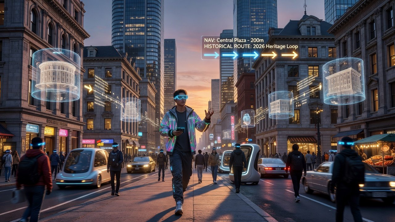
Augmented reality is fundamentally reshaping how travelers explore cities in 2026, transforming static maps and guidebooks into dynamic, interactive experiences that respond instantly to your surroundings. AR travel guides overlay digital information onto the real world through smartphone cameras or wearable devices, delivering real-time context about landmarks, historical events, navigation routes, and even hidden cultural details. This technology particularly appeals to tech-savvy users seeking advanced travel planning techniques that surpass the limitations of traditional paper maps or basic mobile applications. In an era where personalization drives tourism, AR enables seamless blending of physical exploration with layered digital insights, making every walk through a new city more informative and engaging.
The adoption of AR in destination guides has accelerated due to improvements in device hardware and software ecosystems. Modern smartphones now feature advanced sensors and processors that support smooth AR rendering, while developers continue to refine computer vision algorithms for greater accuracy in crowded urban environments. Travelers benefit from features that adapt to their pace, interests, and even time of day, creating experiences that feel tailored rather than generic.
Key AR Features in Modern City Guides
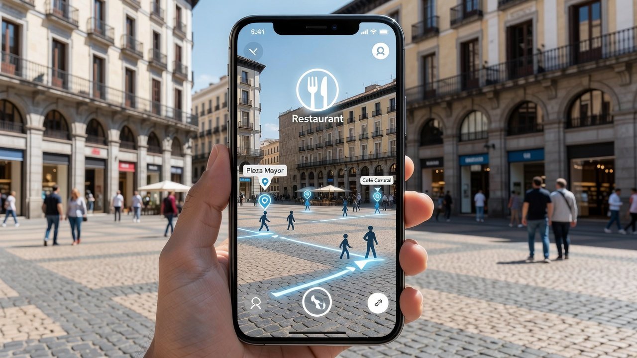
Leading AR-enabled apps in 2026 deliver several powerful capabilities that elevate urban exploration beyond simple point-and-shoot interactions. Real-time overlays display contextual data such as building histories, user reviews, opening hours, and crowd levels directly on the live camera feed, allowing users to understand their environment without switching between multiple screens. Interactive maps support gesture-based zooming, rotation, and filtering of points of interest, often integrating public transit schedules and pedestrian-friendly routing options.
Virtual tours provide immersive pre-visit walkthroughs of museums, neighborhoods, and attractions, helping travelers refine their itineraries with realistic previews. Additional features include voice-activated queries, social sharing of AR snapshots, and collaborative planning tools where friends can annotate the same map in real time. These elements combine GPS positioning, machine learning object recognition, and cloud-based content updates to ensure information remains current and relevant throughout the journey.
AR Tools Versus Traditional Travel Guides
Traditional travel guides provide curated text, static photographs, and fixed recommendations but cannot adapt to changing conditions or individual preferences. In contrast, AR tools offer personalized, location-aware content that updates dynamically based on your exact position and selected filters. For instance, while a printed guidebook lists restaurants in a neighborhood, an AR app can highlight establishments with current wait times, dietary accommodation details, and even virtual menus superimposed on the storefront.
- Traditional guides excel in offline reliability and tactile reading but suffer from outdated information and lack of multimedia depth.
- AR guides deliver 3D models, live social proof, accessibility filters, and integration with wearable devices for hands-free use.
- Hybrid approaches work best: many experienced travelers carry a lightweight printed backup while relying primarily on AR for discovery and navigation.
The shift toward AR does not eliminate traditional resources entirely; instead, it complements them by adding layers of interactivity that deepen cultural understanding.
Practical Integration Steps for Travelers
Successfully incorporating AR into your travel routine requires thoughtful preparation and ongoing adjustments. Begin by ensuring your device runs the latest operating system version, as AR performance depends heavily on updated frameworks like ARKit and ARCore. Research and install apps well in advance, then test core functions during short local outings to familiarize yourself with controls and battery demands.
- Download offline map packs and content caches for your destination to maintain functionality in areas with spotty connectivity.
- Customize app settings for preferred languages, accessibility options, and interest categories such as food, history, or street art.
- Grant necessary permissions for camera, location, and motion sensors while reviewing privacy controls to limit unnecessary data collection.
- Carry a portable charger or use power-saving modes, since continuous AR rendering can drain batteries faster than standard navigation.
- Combine digital insights with human interactions by asking locals for recommendations that apps may overlook, creating a balanced experience.
Troubleshooting common issues includes recalibrating the device compass in open spaces and clearing cache when overlays appear misaligned. These steps ensure reliable performance across varying urban conditions.
Examples from Popular Cities
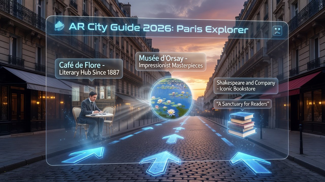
Real-world applications of AR travel guides demonstrate their versatility across diverse urban landscapes. In New York City, apps reconstruct the evolution of Times Square with historical overlays showing how the area appeared during the early twentieth century while users stand amid modern billboards. Paris implementations allow virtual exploration of the Louvre's collections, reconstructing ancient artifacts in their original contexts through detailed 3D models visible on the device screen.
Tokyo excels in transit navigation, with directional arrows and platform labels superimposed on live station views to simplify complex subway transfers. London offers AR-enhanced walks along the Thames that reveal architectural changes across centuries, while Singapore provides interactive garden overlays at locations like Gardens by the Bay, highlighting plant species and sustainable design principles. Rome guides bring ancient ruins to life by projecting complete temple structures over current remains, helping visitors visualize imperial-era grandeur. These city-specific examples illustrate how AR adapts to local history, infrastructure, and tourism priorities.
Expert Tips on Selecting AR-Enabled Country Guides
Choosing the right AR apps requires evaluating several practical criteria beyond marketing claims. Prioritize platforms with robust offline capabilities and regular content updates from verified sources. Seek out apps that incorporate crowd-sourced reviews alongside official tourism data for balanced perspectives. Test battery consumption and interface responsiveness during trial runs before committing to a full-day itinerary.
Consider integration with established mapping services for consistent accuracy. Always examine privacy policies carefully, opting for applications that process data on-device whenever possible to reduce exposure. Cross-reference multiple apps for comprehensive coverage, as no single tool excels in every region or category of interest.
Common Challenges and How to Overcome Them
Despite advances, AR travel guides present occasional hurdles such as inaccurate positioning in dense urban canyons or high data usage during extended sessions. Solutions include using external GPS boosters for better signal and scheduling content downloads over Wi-Fi. Device compatibility varies, so verify support for your specific model before travel. Over-reliance on screens can detract from immersive experiences, so set intentional limits on AR usage and alternate with unaided observation periods.
Future Outlook for AR in Travel
Looking ahead, AR travel technology will likely incorporate more sophisticated AI personalization and integration with emerging wearables. Enhanced collaboration features may allow group tours with synchronized overlays, while improved translation capabilities could break language barriers in real time. As adoption grows, cities themselves may partner with developers to create official AR layers for public spaces, further enriching visitor experiences.
FAQ on Privacy and Device Requirements
What privacy concerns exist with AR travel apps?
AR applications typically require camera and precise location access, raising questions about data storage and sharing. Select apps with clear, transparent policies and prefer those emphasizing on-device processing to minimize cloud transmissions. Review permissions regularly and disable unnecessary tracking features.
What devices are needed for AR travel guides?
Most smartphones released within the past three years support essential AR functions through standard frameworks. Tablets and dedicated AR glasses deliver more immersive views. Aim for devices with at least 6GB RAM and recent processors to ensure fluid performance during extended use.
Are AR guides accessible for travelers with disabilities?
Many applications now include voice narration, adjustable contrast modes, and haptic feedback. However, individuals with visual or motor impairments should test specific apps beforehand and consult accessibility reviews for compatibility details.
How much data do AR guides typically consume?
Usage varies by feature intensity, but offline modes significantly reduce consumption. Plan to download maps and content packs in advance when possible to avoid roaming charges abroad.
Can AR apps function without an internet connection?
Core navigation and pre-loaded overlays work offline, though real-time updates like live reviews require connectivity. Hybrid designs allow seamless switching between modes as signals fluctuate.
Conclusion
AR travel guides in 2026 deliver immersive, context-rich ways to discover cities that traditional methods alone cannot achieve. By mastering key features, comparing available tools, following structured integration steps, and addressing potential challenges proactively, tech-savvy travelers can design more meaningful and efficient journeys. Experimenting with these technologies on upcoming trips unlocks new dimensions of exploration while respecting personal privacy and device limitations. The result is a more informed, engaging, and memorable travel experience that evolves alongside technological progress.
No comments yet. Be the first!