 PlaceBee
Introduction to Blending Travel Guides
Planning multi-stop trips in 2026 requires integrating detailed city guides with broader country overviews. This approach helps travelers navigate complex itineraries efficiently while balancing urban excitement and rural tranquility. By merging these resources, you avoid redundant information and create a cohesive journey that maximizes both convenience and discovery. Many travelers underestimate the value of this integration, leading to fragmented plans that waste time or miss hidden opportunities. Effective blending starts with identifying overlaps and filling gaps using reliable tools and structured methods.
Travelers often face challenges when city-specific details clash with national highlights, such as duplicated museum recommendations or conflicting transport advice. Addressing these issues early ensures smoother execution. The process involves systematic comparison, digital mapping, and flexible timeline adjustments tailored to 2026 travel trends like increased interest in sustainable rural escapes paired with city cultural hubs.
Identifying Overlapping Information
Begin by listing key attractions from both city and country sources. Common overlaps include major landmarks like the Eiffel Tower in Paris or historical sites in Kyoto. Cross-reference entries to eliminate duplicates and focus on unique experiences that differentiate your itinerary. This step prevents overload and highlights complementary elements, such as pairing a city’s fine dining scene with a country’s farm-to-table producers.
Use spreadsheets or note-taking apps to categorize data by theme, such as food, history, and nature. This method reveals where city guides provide depth on neighborhoods and country guides offer context on regional festivals. For instance, a Paris guide might detail specific arrondissements while a France overview explains wine routes extending from the city into surrounding vineyards. Review multiple editions of guides to account for seasonal changes expected in 2026.
Step-by-Step Guide to Merging Resources
- Collect all city and country guides in digital or printed format.
- Highlight shared elements and note discrepancies in opening hours or access fees.
- Create a master document that consolidates verified information.
- Incorporate user reviews from recent travelers to validate details for 2026 conditions.
- Update the merged document as new regulations or events emerge.
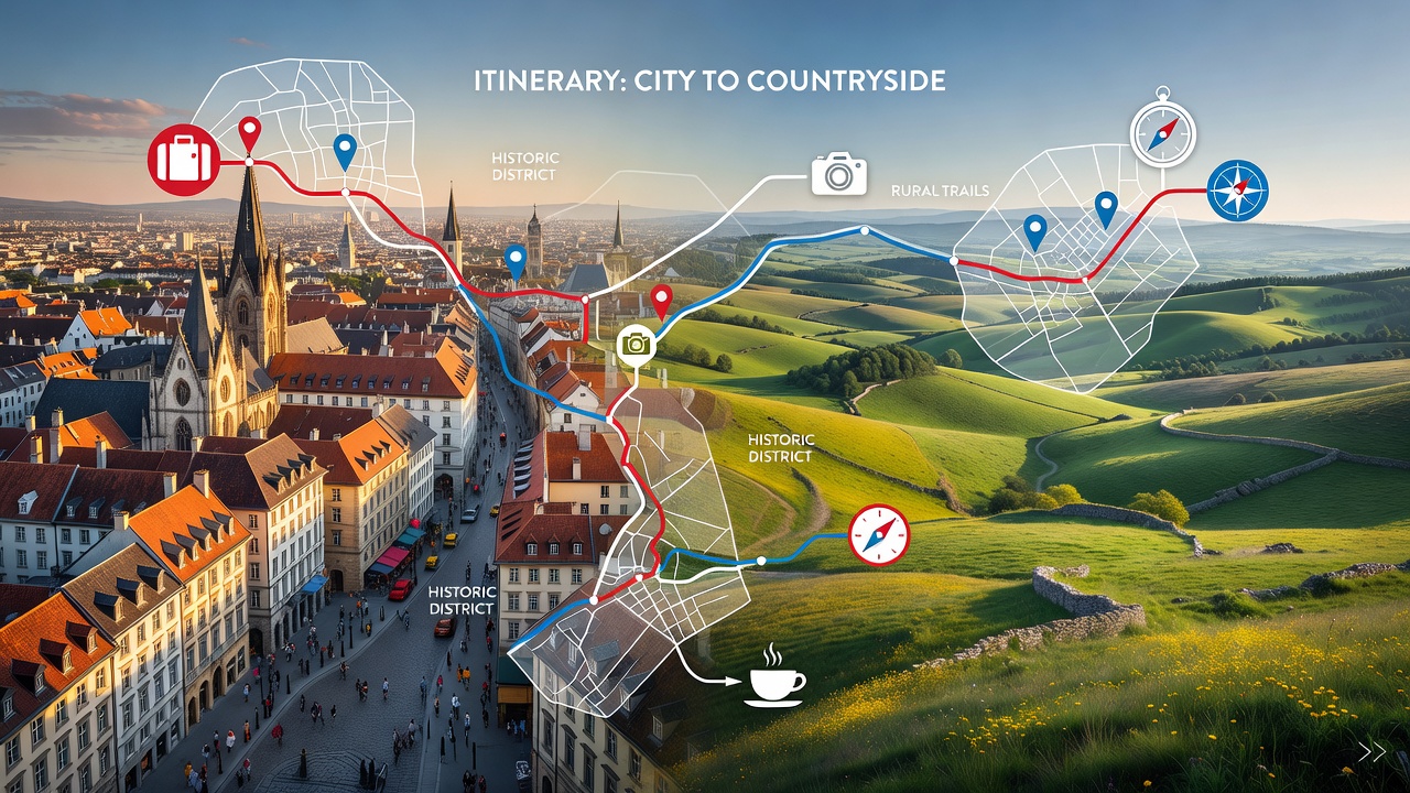
Using Mapping Tools for Integration
Digital mapping platforms streamline the process. Tools like Google Maps allow layering city routes onto national road networks. Import data from multiple guides to visualize connections between urban centers and countryside stops. Additional platforms such as Rome2Rio provide multi-modal transport estimates that bridge city and rural segments effectively.
For advanced planning, consider apps that support custom layers and offline downloads. Plot timelines to estimate travel durations between locations, ensuring realistic pacing for 2026 trips that may involve variable fuel prices or rail schedules. Experiment with satellite views to identify scenic rural drives that complement urban exploration.
Timeline Planning Strategies
Develop a master timeline that allocates days to cities and regions proportionally. Start with high-priority urban stays, then insert rural excursions. Account for seasonal factors like festivals or weather patterns common in popular destinations. Divide the journey into arrival, immersion, transition, and departure phases to maintain energy levels throughout longer multi-stop adventures.
Build in buffer days for adjustments and unexpected opportunities. Consider time zone shifts if crossing borders and factor in rest periods after intensive city sightseeing. A well-structured timeline transforms potential chaos into a rewarding flow that lets travelers fully appreciate both environments.
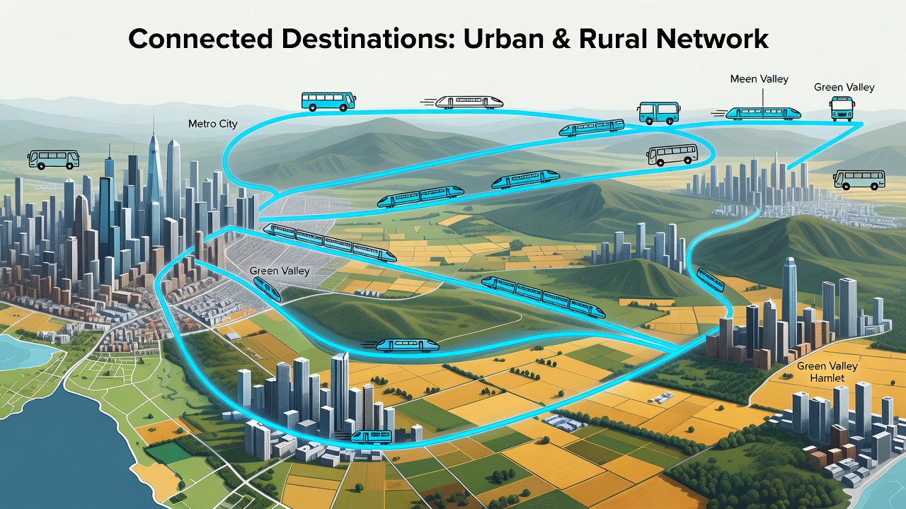
Adding Local Transport Links
Seamless travel depends on connecting transport options. Research train networks, bus routes, and ride-sharing services that link cities to rural areas. Country guides often detail intercity options, while city guides cover local transit maps and peak hour advice. In regions like Japan, blend Shinkansen details from national resources with Tokyo subway maps for door-to-door efficiency.
Test routes for efficiency before finalizing plans. Explore options such as regional passes that cover both urban metros and countryside lines. This integration reduces reliance on taxis and enhances sustainability by favoring public transport where available.
Balancing Urban and Rural Experiences
Achieve equilibrium by alternating high-energy city days with restorative rural time. Urban guides emphasize museums and nightlife, while country overviews highlight hikes and local markets. Prioritize based on personal interests and physical stamina to avoid burnout during extended 2026 itineraries.
For example, schedule two days in a vibrant capital followed by three days in nearby countryside for hiking and village visits. This rhythm allows cultural depth alongside natural rejuvenation, creating memories that feel complete rather than rushed.
Real-World Examples from Popular Regions
Consider France as a case study. Merge Paris city guides with Provence country details to create a route from the Louvre to lavender fields, stopping at small chateaus along the way. Official resources such as France.fr provide verified updates on regional events. Similarly, in Italy, combine Rome insights with Tuscany overviews for wine tours and hill-town explorations, using Italy.it for current access information.
In Asia, blend Bangkok specifics with Thailand’s northern highlands for elephant sanctuaries and temple visits. Japan offers another strong example where Tokyo’s urban density contrasts with Kyoto’s temples and surrounding mountain trails. These examples demonstrate how blended guides enhance multi-stop flow and reveal unexpected connections between destinations.
Comparing Free Versus Paid Resources
- Free options like government tourism sites provide basic overviews and maps suitable for initial research.
- Paid platforms offer premium features such as offline access, personalized recommendations, and real-time alerts.
- Hybrid use maximizes value: start with free data, then upgrade for detailed transport schedules or exclusive local experiences.
- Evaluate based on trip complexity. Free resources suffice for simple routes, while paid ones excel in intricate 2026 itineraries involving multiple countries.
Review recent traveler feedback to determine which combination delivers the best results without unnecessary expense.
Practical Tips and Mistakes to Avoid
Always verify opening times and seasonal closures directly with venues. Over-reliance on a single guide type often leads to missed transport connections or overcrowded attractions. Test your merged plan with a trial run on mapping software before booking accommodations. Incorporate local apps for real-time updates on delays or events that could affect your schedule.
Conclusion
Blending city and country guides transforms multi-stop trips into rewarding adventures. Apply these steps to craft balanced, efficient 2026 journeys that capture the best of both worlds while minimizing stress and maximizing enjoyment.
FAQ
How do I avoid over-planning?
Limit daily activities to three main items and incorporate flexible time blocks for spontaneous discoveries or rest.
What if budget adjustments are needed mid-trip?
Monitor costs weekly and swap premium experiences for free local alternatives when necessary, such as public parks instead of paid attractions.
Are there tools for real-time updates?
Many mapping apps integrate live data for transport and weather changes, helping you adapt quickly to disruptions.
How can I ensure cultural sensitivity in rural areas?
Consult country guides for etiquette guidelines and support local businesses by choosing community-run experiences over large tour operators.

No comments yet. Be the first!