 PlaceBee
Introduction: Drones Transforming Extreme Sports Safety
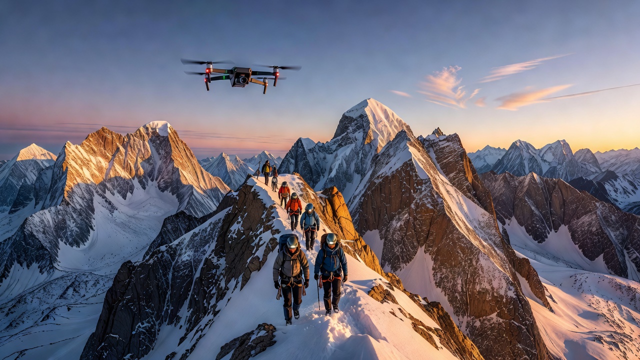
Extreme sports in remote locations demand precision, awareness, and rapid response. In 2026, drone technology has become an indispensable tool for adventurers engaging in mountaineering, whitewater rafting, backcountry skiing, and other thrill-seeking activities. Drones provide real-time aerial perspectives that traditional methods cannot match, helping teams scout hazards, monitor conditions, and coordinate rescues. This comprehensive guide examines practical applications, equipment choices, integration strategies, ethical guidelines, and real-world examples to help thrill seekers leverage drones responsibly and effectively in challenging environments.
Aerial Scouting for Hazards in Outdoor Adventures
Before any expedition begins, identifying risks such as unstable terrain, hidden crevasses, or sudden weather changes is critical. Drones equipped with high-resolution cameras and thermal sensors allow teams to survey vast areas quickly. For example, in mountaineering, a drone can detect avalanche-prone slopes from above, giving climbers vital data to adjust routes safely. In dense forests or canyon systems, multispectral imaging reveals hidden water crossings or rockfall zones that ground teams might miss. This proactive scouting reduces exposure time in dangerous areas and improves overall route planning accuracy.
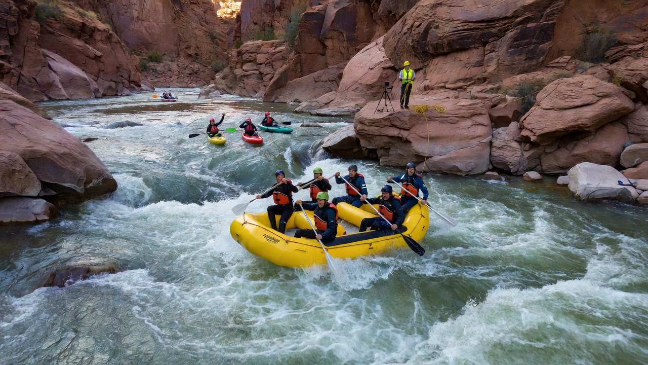
Live monitoring during activities adds another layer of protection. In rafting trips through narrow canyons, drones hover overhead to relay water flow information and spot submerged obstacles. Skiers in backcountry terrain benefit from drones that track snowpack stability in real time, alerting groups to shifting conditions before they commit to a descent. The ability to maintain visual contact while covering multiple angles creates a safety net that enhances group decision-making.
Emergency Response Protocols Powered by Drones
When accidents occur in isolated regions, every minute counts. Modern drones support emergency protocols by delivering medical supplies, acting as communication relays, and guiding rescuers to precise locations. Integration with satellite networks ensures functionality even without cellular coverage. Advanced models can drop lightweight first-aid kits or flotation devices directly to stranded participants while maintaining a stable hover for video transmission.
Case studies from thrill seekers illustrate these benefits. A 2025 expedition in the Canadian Rockies used drone footage to locate an injured skier within 18 minutes, enabling a helicopter extraction that might otherwise have taken hours. Another example from Patagonia involved a rafting team whose drone spotted a capsized boat and relayed coordinates to rescue personnel, cutting response time dramatically. These instances highlight how drones bridge the gap between incident and intervention in areas far from traditional infrastructure.
Equipment Recommendations for 2026 Use
Selecting the right drone involves balancing portability, battery life, and sensor capabilities. Look for models with obstacle avoidance, 4K or higher video, and extended flight times suitable for rugged environments. Waterproofing and wind resistance are essential for rafting and high-altitude use. Key features to compare include gimbal stability for smooth footage in gusty conditions, return-to-home functionality that activates automatically if signal is lost, and modular payload systems for carrying small safety items.
Popular options in 2026 range from compact foldable units ideal for backpacking to more robust platforms with superior wind tolerance. When comparing models, evaluate flight range, sensor quality, and ease of integration with mapping apps. Users often pair drones with wearable beacons for seamless team tracking and redundant power solutions such as spare batteries carried in insulated cases.
Step-by-Step Setup Guide for Field Deployment
1. Pre-flight checks: Inspect propellers, calibrate sensors, and verify firmware updates using the manufacturer app. Test all control sticks and confirm GPS lock before leaving base camp.
2. Site assessment: Choose launch points with clear line-of-sight and minimal wind interference. Clear debris from the area and establish a safe perimeter for bystanders.
3. Flight planning: Use mapping software to set geofenced boundaries and waypoints aligned with the route. Program altitude limits and emergency landing zones in advance.
4. Integration testing: Connect the drone to group communication devices and test live video feeds. Practice handoff procedures between multiple pilots if operating in teams.
5. In-flight monitoring: Maintain constant visual awareness while watching telemetry data for battery levels and signal strength.
6. Post-flight review: Download footage for analysis and recharge batteries immediately. Log any issues encountered for future reference.
Always follow local aviation rules during these steps to ensure compliance and safety.
Integration with Specific Extreme Sports
Mountaineering benefits from drones that map icefalls and seracs, allowing teams to identify safe passage through complex glacier fields. Rafting teams deploy compact drones for river scouting, capturing footage of rapids ahead to choose optimal lines. Skiers and snowboarders use lightweight models for avalanche monitoring, flying transects over slopes to assess snow stability before committing. Paragliding pilots gain an edge by launching drones to check wind patterns and thermal activity at altitude. Each sport requires tailored accessories, such as extra propellers for dusty trails or reinforced frames for rocky landings, plus custom mounts for attaching action cameras or beacons.
Ethical Considerations in Wildlife Areas
Operating drones near sensitive ecosystems demands caution. Maintain minimum distances from animals, avoid nesting seasons, and obtain necessary permits. Responsible use preserves the natural environments that make these adventures possible. Guidelines from organizations like the National Park Service emphasize minimal disturbance, while additional resources from the U.S. Fish and Wildlife Service provide species-specific recommendations. Noise reduction features and flight altitude restrictions help mitigate stress on local fauna.
Common Mistakes to Avoid
Many new drone users overlook weather variables, leading to unexpected turbulence or battery drain. Another frequent error is neglecting to update flight software, which can cause navigation glitches in remote zones. Failing to establish clear communication protocols within a group often results in duplicated efforts or missed signals during emergencies. Over-reliance on drone footage without cross-verifying with on-ground observations can create false confidence. Finally, ignoring local regulations risks fines or equipment confiscation, undermining the entire trip.
FAQs on Regulations and Costs
What regulations apply to drone use in remote areas? Check national aviation authorities such as the Federal Aviation Administration for registration, altitude limits, and no-fly zones. International travel requires additional research into local laws and permit processes well in advance of departure.
How do costs factor into planning? Drone ownership involves initial investment plus ongoing maintenance; qualitative assessments show mid-range options provide strong value for adventure applications without excessive complexity. Budget for accessories like extra batteries and protective cases as part of overall trip preparation.
Are there training requirements? Many regions mandate certification courses covering safety and privacy. Online resources and in-person workshops help users stay compliant and build confidence in varied conditions.
Can drones operate in extreme weather? Most consumer models have wind and temperature limits. Always check manufacturer specifications and carry backup equipment for sudden changes.
How should teams coordinate multiple drones? Assign distinct flight zones and use shared mapping platforms to prevent collisions and ensure comprehensive coverage during group activities.
Conclusion
Drone technology continues to elevate safety standards in remote extreme sports. By combining scouting, monitoring, and emergency support with thoughtful equipment selection and ethical practices, adventurers can pursue their passions with greater confidence. Staying informed about regulations and refining operational skills ensures these tools remain accessible and sustainable for future expeditions around the world.
No comments yet. Be the first!