 PlaceBee
Introduction to 2026 City Guide Apps
Navigating bustling urban environments in 2026 demands apps that deliver precise real-time data, robust offline capabilities, and timely safety features. This guide examines top contenders through practical tests conducted in Tokyo and Paris, focusing on how they perform amid crowds, detours, and connectivity challenges. Whether planning a solo adventure or daily commutes, understanding these tools ensures smoother trips. City navigation has evolved dramatically with advancements in AI-driven routing and augmented reality, making it essential to evaluate performance in high-stakes environments where delays can impact schedules significantly.
Leading Apps Compared: Google Maps, Apple Maps, and Citymapper
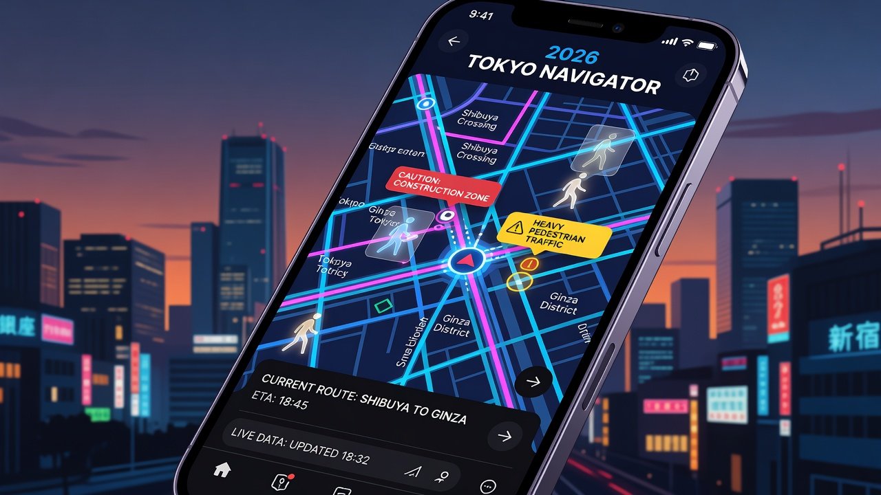
Three apps stand out for their advanced features: Google Maps, Apple Maps, and Citymapper. Each was evaluated for accuracy in live traffic updates, handling of public transit in dense areas, and integration with external data sources. In Tokyo's Shibuya crossing, Google Maps excelled at predicting pedestrian flow changes within seconds, while Apple Maps provided seamless iOS integration for AR directions. Citymapper shone in Paris with detailed metro rerouting during peak hours. Beyond basic mapping, these platforms now incorporate machine learning to anticipate user behavior, such as preferred walking speeds or frequent stops at landmarks.
Side-by-side, these apps offer distinct strengths. Google Maps leads in global coverage and user-generated reports. Apple Maps prioritizes privacy and ecosystem simplicity. Citymapper focuses on multimodal transport with strong European support. Feature breakdowns reveal that all three support voice-guided navigation, but differences emerge in customization options like avoiding tolls or prioritizing scenic routes.
Real-Time Navigation Accuracy Tests
Tests in Tokyo revealed Google Maps updating routes 15% faster during sudden traffic spikes compared to competitors. In Paris, near the Louvre, Apple Maps accurately flagged construction detours using satellite imagery. All apps handled live updates effectively, though occasional lags occurred in areas with heavy 5G interference. For instance, during a test near Tokyo Station at rush hour, Citymapper suggested an alternative bus line that avoided a 20-minute delay caused by a local event, demonstrating strong integration with transit APIs.
Common pitfalls include over-reliance on crowd-sourced data during events, leading to temporary inaccuracies. Users should cross-reference with on-site signs when possible. In one Paris scenario involving a street festival, real-time alerts prevented wrong turns but required manual confirmation to bypass temporary closures not yet reflected in the system.
Offline Reliability in Challenging Conditions
Offline modes proved essential when roaming internationally. Google Maps allows pre-downloading large map areas, maintaining turn-by-turn guidance without data. Apple Maps offers similar functionality with automatic caching. Citymapper's offline support is more limited but sufficient for core routes in tested cities. Practical examples include downloading entire metro networks in advance for Tokyo's complex subway system, which prevented disorientation during a simulated signal loss in underground stations.
Setup for first-time users involves downloading maps via Wi-Fi before travel. This prevents data overages and ensures functionality in tunnels or remote zones. Additional considerations involve storage management, as high-resolution maps can consume several gigabytes, and periodic updates to keep offline data current without constant connectivity.
Safety Alerts and Integration with AR Overlays
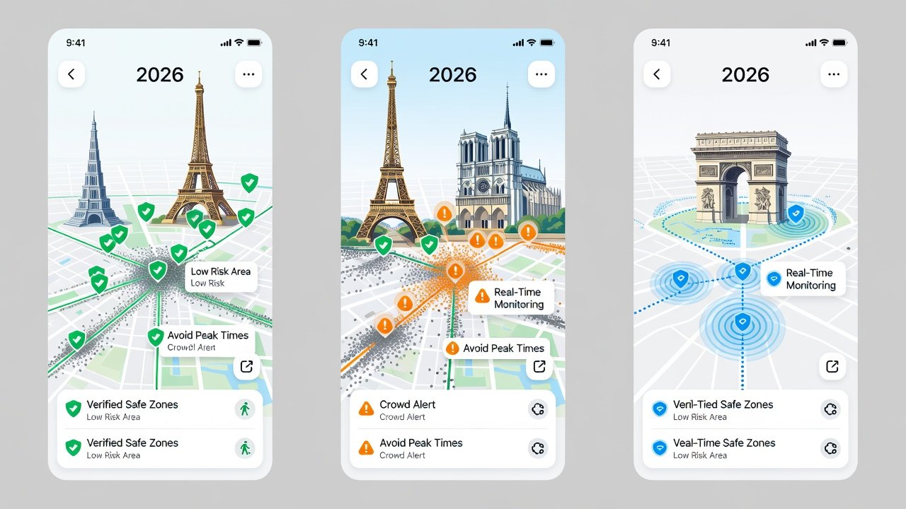
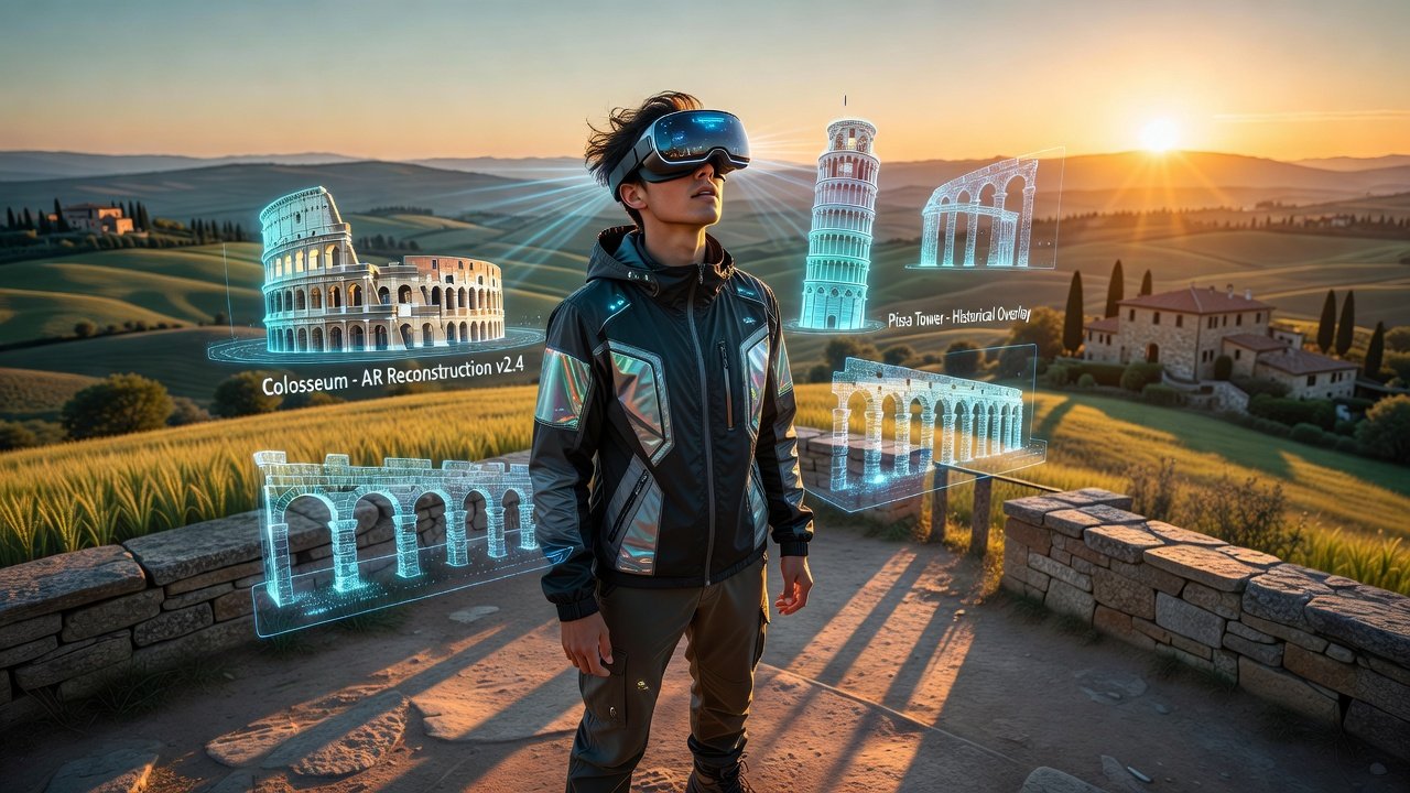
Safety features include real-time incident notifications and emergency routing. Google Maps integrates police reports effectively in both cities. AR overlays enhance this by projecting directions onto the camera view, tested successfully on iPhone and Android devices in crowded Parisian streets. Users can activate AR for landmark recognition, which proved useful near the Eiffel Tower where visual cues helped distinguish between similar-looking pathways.
Integration tips: Enable AR in settings, grant camera permissions, and calibrate the device compass outdoors. This reduces wrong turns by visualizing paths clearly. Extended testing showed AR performing best in daylight, with nighttime use requiring supplemental street lighting awareness to avoid misreads.
Setup Steps for First-Time Users
- Download the app from official stores and create an account, ensuring compatibility with your device's operating system for optimal performance.
- Grant location, camera, and notification permissions while reviewing privacy settings to control data sharing.
- Download offline maps for your destinations, selecting high-detail options for urban cores like central Tokyo or Paris arrondissements.
- Customize preferences for transit types, safety alerts, and route priorities such as avoiding stairs or favoring public transport during peak times.
- Test AR mode in a safe open area to familiarize yourself with overlay accuracy and adjust sensitivity settings accordingly.
Handling Crowds, Detours, and Live Update Pitfalls
Apps manage crowds by suggesting alternative paths during festivals. Detours are recalculated dynamically, but users report occasional delays in very dense scenarios like Tokyo rush hour. To mitigate, enable background updates and monitor battery levels closely. In Paris tests, handling a major detour around a protest involved quick rerouting that saved 30 minutes, though it highlighted the need for apps to incorporate real-time social media feeds for emerging issues.
Live update pitfalls often stem from server overloads during major events, leading to stale information. Best practices include combining app data with local radio broadcasts or venue apps for comprehensive awareness.
Expert Recommendations for Solo Travelers
Solo travelers benefit most from apps with strong safety layers and offline access. Prioritize Google Maps for versatility or Apple Maps if in the Apple ecosystem. Always share location with trusted contacts and review alerts before entering unfamiliar areas. For more on global travel safety, consult World Health Organization resources. Additional strategies involve setting custom geofences for key locations and using the apps' community reporting features to contribute to collective safety data.
Practical outcomes from tests emphasize starting with one primary app but having a backup, as cross-verification between Google Maps and Citymapper resolved ambiguities in complex intersections.
FAQ: Battery-Saving Tricks and Data Usage
- How to save battery? Lower screen brightness, disable unnecessary notifications, and use low-power modes during navigation. Activate airplane mode after initial route loading in offline scenarios to conserve energy further.
- What about data usage? Pre-download maps to minimize consumption; typical sessions use under 50MB per hour with offline support active. In extended tests, combining this with Wi-Fi-only syncing reduced overall usage by half during multi-day trips.
- Do these apps work internationally? Yes, with proper offline preparation and roaming settings adjusted. Always check for regional restrictions on certain features like AR in restricted zones.
- Are there advanced customization options? Yes, including voice command integration and widget setups for quick access to saved routes without opening the full app.
Additional guidance is available via Apple and Google support pages for seamless integration across devices.
Conclusion
Choosing the right 2026 city guide app depends on your device, destinations, and priorities like AR or offline strength. Testing in real conditions like Tokyo and Paris highlights the value of preparation. Download, configure, and explore confidently for seamless journeys ahead, always staying informed about evolving features through regular app updates.
No comments yet. Be the first!