 PlaceBee
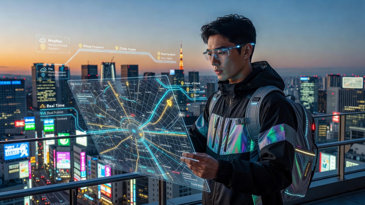
Advanced AR Layering for 2026 Travel Guides
Travel planning has evolved dramatically with augmented reality. Advanced AR layering allows travelers to combine digital information seamlessly with physical maps for more dynamic 2026 itineraries. This approach integrates real-time data, multiple apps, and dynamic updates to enhance every stop on a journey. As technology advances, layering becomes essential for personalized experiences that adapt to changing conditions such as weather shifts or unexpected closures. Travelers who master these methods report higher satisfaction and fewer logistical issues during complex trips.
Understanding AR Layering in Modern Travel
AR layering involves stacking digital elements such as points of interest, navigation cues, and historical context over traditional maps. By 2026, this technology supports multi-layered views that adapt to user preferences and location changes. Travelers benefit from reduced planning time and richer on-site experiences through precise overlays. The core principle relies on combining GPS data with visual recognition to anchor virtual elements accurately in the real world. This creates an immersive guide that feels intuitive yet packed with actionable details for daily exploration.
Further benefits include improved accessibility for users with varying mobility needs and the ability to preview destinations before arrival. Layering also supports collaborative planning where group members contribute custom markers visible to all participants. Understanding these fundamentals helps users select appropriate tools and avoid common pitfalls in setup.
Step-by-Step Guide to Combining Real-Time Overlays with Traditional Maps
Follow these steps to build an effective AR-enhanced guide:
- Start with a base map from a reliable provider and import it into your AR platform.
- Enable real-time data feeds for traffic, weather, and events.
- Layer additional information such as restaurant reviews or transit schedules.
- Test the overlay accuracy by walking a short route and adjusting alignment settings.
- Save the layered map for offline use and set update triggers for when connectivity returns.
This process ensures maps remain useful even in areas with spotty signals. For more advanced users, consider adding custom filters that highlight only relevant categories like vegan dining or family-friendly attractions. Repeat the calibration process at each major destination to maintain precision throughout multi-week journeys. Document any custom settings so they can be replicated on future trips.
Cross-Referencing Multiple Apps for Comprehensive Itineraries
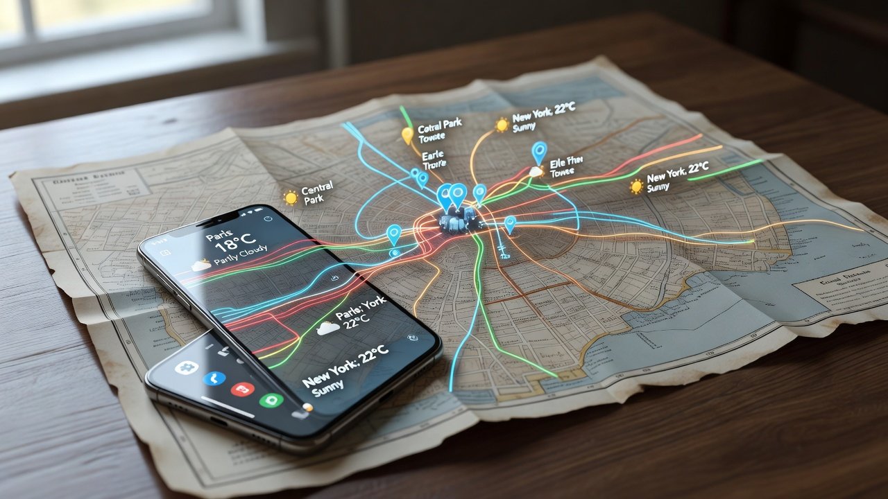
Effective layering often requires pulling data from several sources. Begin by selecting a primary navigation app, then integrate secondary tools for specialized content like cultural insights or booking confirmations. Cross-reference by exporting data in compatible formats such as GPX or KML files. Regular synchronization keeps all layers current without manual intervention. Users should verify data privacy policies across platforms to protect personal location history during sharing.
In practice, this means exporting hotel reservations from one booking app and overlaying them onto the main map while pulling event listings from local tourism databases. The result is a unified view that reduces the need to switch between screens constantly. Advanced travelers often create templates that auto-populate recurring elements like daily meal suggestions based on previous preferences.
Expert Comparisons of Leading AR Tools
Several platforms stand out for advanced AR travel use. Google’s AR capabilities excel in street-level navigation and broad global coverage. Apple’s ARKit provides superior depth sensing for indoor and complex urban environments. Other options focus on specialized overlays for hiking trails or city heritage sites. Compare tools based on device compatibility, update frequency, and customization depth before committing to one ecosystem. Consider factors such as integration with wearables and community-driven content libraries when evaluating long-term suitability.
Learn more from official resources: Google AR development documentation and Apple augmented reality guidelines. Additional insights appear on established travel platforms like Lonely Planet for real-user case studies.
Real-World Examples for Multi-Stop Trips
Consider a three-city European itinerary. In the first destination, layer historical building details over a walking map to enrich cultural visits. At the second stop, add real-time transit schedules to the base navigation layer so transfers between sites remain seamless. For the final city, incorporate user-generated photos and reviews to discover hidden eateries. These examples demonstrate how dynamic updates keep guides relevant across changing conditions and time zones.
Another scenario involves a multi-country road trip where layers include border crossing requirements and fuel station locations. Users can toggle between scenic route suggestions and fastest-path options depending on daily priorities. Such flexibility proves invaluable when traveling with companions who have differing interests or energy levels.
Tips for Reliable Offline Functionality
Download all layers in advance and enable local caching. Use apps that support manual refresh upon reconnection. Test offline mode thoroughly before departure to verify that overlays remain accurate without live data. This preparation prevents disruptions during remote segments of a trip. Additional strategies include pre-loading high-resolution imagery and creating backup versions on secondary devices.
Many travelers also print simplified base maps as a last resort while relying primarily on cached AR content. Regular software updates before travel ensure the latest offline algorithms are active. Monitoring battery usage patterns during tests helps optimize settings for extended periods without charging access.
Common Setup Challenges and Troubleshooting
Users frequently encounter alignment issues or battery drain. Recalibrate device sensors regularly and close background apps to conserve power. For accuracy problems, verify GPS permissions and update all involved applications. Persistent errors may require resetting the AR session or switching between Wi-Fi and cellular networks. Lighting conditions can also affect visual anchoring, so test in both bright daylight and shaded areas.
Network-related challenges often arise in international settings due to roaming restrictions. Solutions include using local SIM cards or eSIM options to maintain minimal connectivity for updates. Device overheating during prolonged AR sessions can be mitigated by using cooling accessories or limiting session lengths in hot climates.
FAQ on Accuracy and Device Compatibility
How accurate are AR overlays in crowded urban areas?
Accuracy depends on GPS signal strength and map quality. Most leading tools achieve sub-meter precision in open spaces but may drift slightly indoors or among tall buildings. Regular recalibration helps maintain reliability.
Which devices support advanced AR layering in 2026?
Recent flagship smartphones and dedicated AR glasses from major manufacturers offer the best performance. Older models may lack necessary sensors for full functionality, so check hardware specifications prior to purchase.
Can layered guides be shared across different operating systems?
Many platforms allow export and import of custom layers, though full compatibility requires checking file format support between systems. Cloud-based syncing often resolves cross-platform issues effectively.
What privacy considerations apply when using AR travel tools?
Review each app’s data collection policies, especially regarding location tracking and third-party sharing. Opt for tools with strong encryption and transparent consent mechanisms to safeguard personal information.
Conclusion
Advanced AR layering transforms travel guides into interactive tools that adapt to real-world conditions. By mastering these techniques, travelers create optimized 2026 itineraries that deliver value at every stage of the journey. Continued practice and experimentation will unlock even greater potential as the technology matures.
No comments yet. Be the first!