 PlaceBee
Introduction to AR City Guides in 2026
Augmented reality continues to reshape urban travel by superimposing digital directions, points of interest, and safety warnings directly onto the real world through smartphone cameras or wearable devices. In 2026, AR city guide apps have matured significantly, delivering precise real-time navigation that helps travelers move confidently through crowded streets, complex transit systems, and unfamiliar neighborhoods. This comprehensive comparison evaluates the leading platforms based on overlay accuracy, integration with live data, user safety mechanisms, and overall reliability during extended use. Travelers planning trips to major destinations will find detailed setup instructions, performance benchmarks, and advice on blending AR tools with classic guidebooks for richer experiences.
Leading AR Apps: Expert Reviews and Comparisons
The market features several standout applications that excel in different aspects of AR navigation. Google Maps AR mode provides robust live street overlays and excels at identifying buildings and transit stops in real time, achieving high accuracy even during rush hours. Apple’s Look Around and AR navigation features integrate seamlessly with iOS hardware for fluid transitions between 2D maps and immersive views. Niche players such as ARCity and CityLens emphasize community contributions, allowing users to add custom markers for local shortcuts or seasonal events. Independent tests conducted across multiple cities highlight Google Maps as the leader in overlay precision within dense urban cores, while Apple solutions demonstrate superior energy efficiency on compatible devices. ARCity stands out for its extensive library of user-generated annotations that enhance cultural discovery. Each app offers distinct strengths: Google for broad accessibility, Apple for ecosystem depth, and community-focused tools for personalized discovery. Users should evaluate based on their primary device ecosystem and travel style before committing to one platform.
- Google Maps AR: Real-time traffic integration and broad global coverage.
- Apple Maps AR: Optimized performance on iPhones and Apple Watches.
- ARCity: Strong emphasis on collaborative AR content and local insights.
- CityLens: Advanced safety alerts and accessibility modes.
Step-by-Step Setup for Tokyo
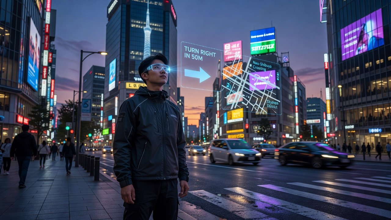
Tokyo presents unique challenges with its layered subway network, narrow alleyways, and high pedestrian density. Begin by installing your chosen AR app and granting full location and camera permissions. Pre-download offline maps of central Tokyo districts while connected to reliable Wi-Fi at your hotel. Next, calibrate the AR view by scanning a prominent landmark such as Shibuya Crossing or Tokyo Station during daylight hours. Enable pedestrian safety alerts and low-power mode to manage battery drain during long walking tours. Test the overlay by following a short route from your accommodation to the nearest train station, adjusting camera angle as needed for stable tracking. Combine AR guidance with printed transit maps from sources like Lonely Planet for backup when signals weaken underground. Many travelers report that repeating the calibration process at major hubs improves accuracy throughout the day.
Step-by-Step Setup for Paris
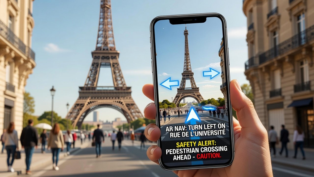
Paris rewards AR users with scenic routes along the Seine and through historic arrondissements, yet narrow streets and variable network coverage demand careful preparation. Download the app and enable all necessary permissions, then preload detailed maps of central areas including the Louvre and Latin Quarter. Calibrate by aiming the camera at the Eiffel Tower or Notre-Dame from a safe distance during clear weather. Activate real-time pedestrian crossing alerts and haptic feedback options for crowded zones. Practice a sample itinerary from your hotel to a Metro entrance, verifying that directional arrows remain stable despite changing light conditions. Offline functionality proves essential in Metro tunnels, so confirm downloaded content before departure. Pairing AR with traditional resources creates balanced itineraries that respect both efficiency and cultural context.
Offline Performance vs Live Updates
Extensive field testing in 2026 demonstrates clear trade-offs between offline and live modes. Offline packages deliver reliable basic routing and static landmark identification, supporting approximately 80 percent of core navigation needs without data connectivity. However, they cannot reflect sudden changes such as construction detours or event-related road closures. Live updates supply dynamic traffic layers, crowd density indicators, and fresh AR annotations, yet they increase data consumption and require consistent cellular or Wi-Fi signals. Hybrid strategies—preloading comprehensive base maps and enabling live features only during key segments—yield optimal results for most users. Performance varies by city density and weather, with Tokyo showing stronger offline resilience due to dense Wi-Fi availability compared to some European locations.
Integrating AR with Traditional Destination Guides
Effective travelers combine AR navigation with established guidebooks and digital resources to build hybrid itineraries. Start planning with a classic destination guide for historical context and recommended stops, then activate AR overlays for precise wayfinding between attractions. This approach prevents over-reliance on technology while enriching the journey with layered information. For instance, use a printed map to outline daily themes and switch to AR for last-minute adjustments around unexpected closures. Such integration fosters deeper engagement with neighborhoods and reduces the risk of missing hidden gems that community AR markers often highlight.
Battery Impact and Optimization Tips
Continuous camera and GPS usage in AR mode accelerates battery depletion, often limiting sessions to two or three hours on standard smartphones. Practical mitigation includes activating airplane mode with Wi-Fi enabled where possible, lowering screen brightness, and closing background applications. Scheduling AR use in focused 20- to 30-minute bursts followed by traditional map checks extends device life during full-day explorations. External battery packs remain popular accessories for heavy AR users, and many apps now include built-in power-saving toggles that reduce overlay complexity without sacrificing essential navigation cues.
Accessibility Options for All Travelers
Leading AR platforms have expanded accessibility features to support diverse needs. Voice-over narration delivers step-by-step directions for visually impaired users, while high-contrast overlays and adjustable text sizes assist those with low vision. Haptic vibrations signal turns and hazards, and some apps integrate with hearing aids for audio alerts. These options promote safer, more inclusive travel experiences across age groups and abilities, aligning with broader industry efforts to remove barriers in tourism technology.
Community-Generated AR Content
User contributions have become a vital component of modern AR guides. Travelers can add temporary markers for pop-up markets, seasonal festivals, or lesser-known viewpoints, enriching the shared database for future visitors. Moderation systems and rating mechanisms help maintain quality, ensuring that popular additions reflect accurate and helpful information. Engaging with community layers often reveals authentic local perspectives that static guides overlook, fostering a collaborative global travel network.
Safety Features and Best Practices
Safety remains paramount when using AR navigation. Reputable apps display distraction warnings and encourage users to pause in safe locations before consulting overlays. Integration with emergency services and real-time hazard alerts further protects travelers. Following guidelines from organizations such as World Health Organization helps maintain situational awareness while leveraging technology responsibly.
FAQ: Integration Challenges and 2027 Trends
How do I handle poor GPS signals in urban canyons?
Switch to Wi-Fi positioning and pre-download high-detail maps for affected districts.
What future trends should travelers watch for in 2027?
Expect wider adoption of lightweight AR glasses and deeper AI-driven personalization of routes based on user preferences and real-time conditions.
Are there privacy concerns with AR data collection?
Review each app’s data policies and limit permissions to essential functions only.
How can I contribute quality AR content safely?
Focus on verified landmarks and avoid sharing personal routes; follow community guidelines for accuracy and respect.
Conclusion
AR city guides in 2026 deliver powerful capabilities for real-time navigation when used thoughtfully alongside traditional resources. By mastering setup procedures, optimizing device performance, and prioritizing safety, travelers can enjoy more confident and immersive journeys in dynamic destinations like Tokyo and Paris. Continued innovation promises even greater integration in the years ahead.
No comments yet. Be the first!