 PlaceBee
Introduction: Why Offline Navigation Is Essential in 2026
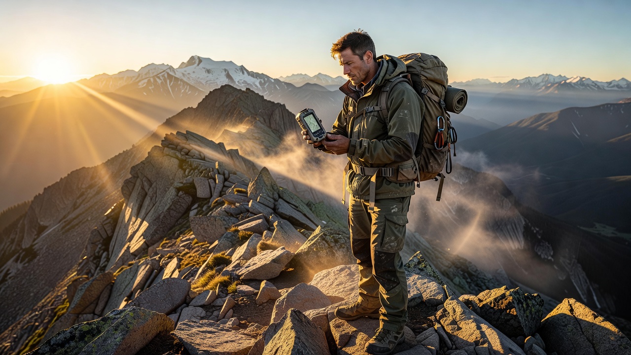
Traveling to remote destinations in 2026 demands reliable navigation strategies that work without cell service. Unpredictable environments like high-altitude trails, dense forests, or vast deserts can quickly turn dangerous if you lose your bearings. This comprehensive guide provides advanced offline mapping techniques, practical setup instructions, and pro safety advice to keep you on track during any adventure. Modern travelers rely on digital tools, yet signal dead zones remain common even in popular regions. Combining apps with traditional methods ensures efficiency and reduces risks in unpredictable conditions. Whether you are hiking in isolated national parks or exploring backcountry roads, mastering these skills can mean the difference between a successful trip and an emergency situation. The following sections break down everything from app selection to real-world examples and common pitfalls, giving you actionable knowledge for 2026 adventures.
Choosing the Right Offline Mapping Apps
Maps.me stands out for its detailed OpenStreetMap data and fully offline capabilities. Download the app from official sources before departure. Customize maps by selecting specific regions and layers for hiking trails, waterways, or points of interest. Other strong options include OsmAnd, which offers advanced routing and contour lines, and Gaia GPS for those who want premium topographic overlays. Each app has strengths: Maps.me excels in simplicity and free downloads, while OsmAnd provides more granular control over map styles. Before choosing, consider your destination type. For international travel, Maps.me handles language barriers better with its translation features. Always verify map updates prior to travel by connecting to Wi-Fi at home or in urban areas. Pro travelers maintain multiple apps on their devices to cross-reference data when one source appears incomplete.
Step-by-Step Setup Instructions for Maps.me and Alternatives
Step-by-step setup for Maps.me begins with installation and account creation. Next, search for your destination region and download the full map pack while on Wi-Fi. Enable offline mode in settings and test navigation features by simulating a route. Add bookmarks for key points like campsites, water sources, or emergency exits. For OsmAnd, the process involves downloading individual map tiles and configuring plugins for offline routing. Customize display options to show elevation profiles and turn-by-turn directions without connectivity. Test the full workflow in a familiar area first. Integrate these apps with device widgets for quick access during low-light conditions. Advanced users export custom GPX routes from desktop planning tools and import them directly into the mobile apps for seamless transitions from planning to execution.
Integrating Paper Maps as Reliable Backups
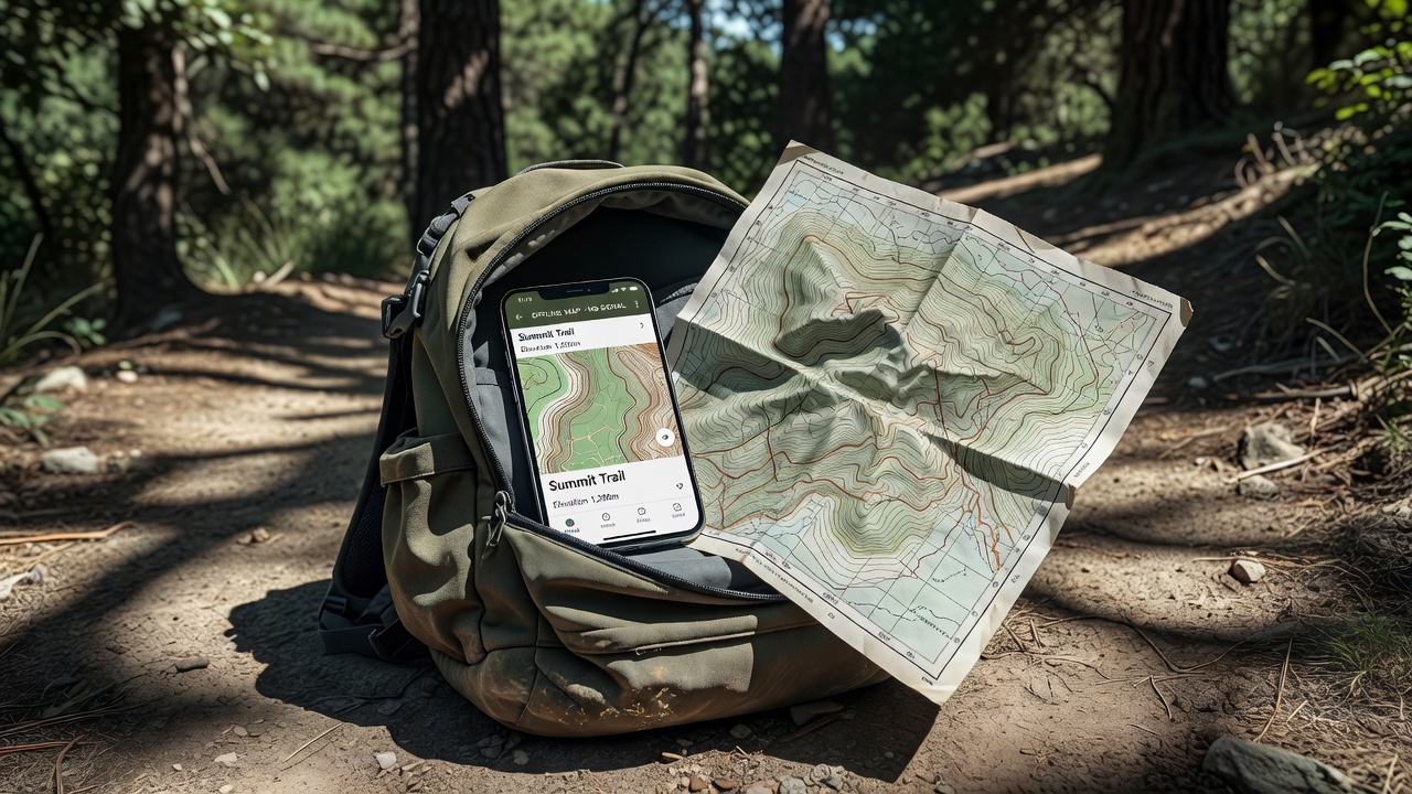
Digital tools can fail due to device damage, extreme temperatures, or battery drain. Paper maps from reputable sources provide an unbreakable backup layer. Laminate them for weather resistance and mark routes with waterproof pens. Best practice involves cross-referencing digital downloads with paper versions by highlighting matching elevation contours and landmarks. For example, print sections from base map data and annotate them with app-derived waypoints. This hybrid approach builds redundancy that experienced guides recommend for multi-day expeditions. Store paper maps in waterproof cases within easy reach of your pack.
OpenStreetMap offers free printable base layers that pair well with app exports for custom planning.
Comparing Device Battery Solutions for Extended Trips
Power management is critical for multi-day remote adventures. Solar chargers, high-capacity power banks, and efficient device settings extend usability significantly. Prioritize lightweight options that handle cold temperatures common in high-altitude areas. Consider these practical steps: use airplane mode and disable unnecessary apps to conserve energy; carry at least two backup power sources rated for your device's typical draw; test solar panels in similar weather conditions beforehand. Compare solar options by weight, charging speed, and panel durability. Some adventurers pair a 20,000mAh power bank with a foldable solar panel for balanced performance. Real testing shows that consistent power proved vital for GPS tracking over several days in variable conditions. Always monitor battery health through built-in diagnostics and rotate devices to prevent simultaneous failures.
Real Destination Examples and Practical Application
In Alaska's backcountry, offline maps helped navigate around sudden weather changes by providing preloaded topographic details. Travelers downloaded detailed data and carried folded paper references for redundancy during week-long treks. Another case involves remote sections of the Appalachian Trail, where customized Maps.me routes combined with national park paper maps allowed precise waypoint tracking despite heavy tree cover. In the Australian outback, explorers used OsmAnd's offline routing to avoid washed-out tracks, supplementing with printed satellite imagery. These examples demonstrate how preparation turns potential crises into manageable situations. Always adapt your setup to the specific terrain and season of your chosen destination.
National Park Service resources provide excellent supplementary trail information for U.S. destinations.
Common Mistakes to Avoid and Safety Protocols
Many adventurers skip testing maps in advance or ignore battery conservation, leading to avoidable issues. Always inform someone of your exact itinerary and carry a whistle or satellite communicator as final backups. Pro tip: practice navigation in local areas first to build confidence with your full toolkit. Additional protocols include carrying a physical compass and knowing basic orienteering techniques. Check weather forecasts via downloaded data before departure and establish daily check-in points. Avoid over-reliance on any single tool by regularly switching between digital and paper references during the journey.
Advanced Customization and Environmental Considerations
Go beyond basic downloads by creating layered maps that include seasonal trail closures or wildlife zones. Use desktop software to refine routes and sync them to your phone. Respect environmental guidelines by minimizing impact while navigating, such as staying on marked paths even when using offline tools. For international remote areas, research local regulations regarding digital devices in protected zones.
U.S. Geological Survey provides authoritative topographic data suitable for printing additional backup layers.
Frequently Asked Questions
How do I handle map updates without internet?
Pre-download all necessary updates at home or via Wi-Fi before entering remote zones and verify file integrity.
What if my device gets damaged?
Rely on laminated paper maps and a basic compass as your primary fallback while activating any satellite messenger you carry.
Are there specific apps best for international travel?
Maps.me works globally; supplement with region-specific topographic options when available through official tourism or government map services.
How often should I test my full navigation setup?
Conduct full rehearsals at least twice before major trips, including battery drain simulations and paper-to-digital cross-checks.
Conclusion
Mastering offline navigation in 2026 combines technology with traditional methods for safer, more efficient remote adventures. By following these detailed steps, examples, and protocols, you minimize risks and maximize enjoyment in any environment while staying prepared for the unexpected.

No comments yet. Be the first!