 PlaceBee
Introduction to City Guide Apps for Solo Travelers in 2026
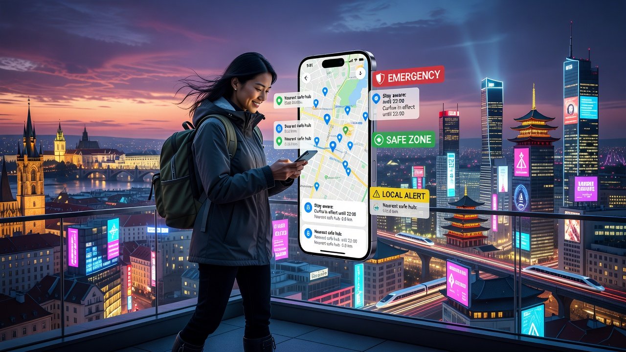
Solo adventurers exploring new cities need reliable digital companions that prioritize safety, seamless navigation, and real-time information. In 2026, city guide apps have evolved to integrate advanced AI-driven alerts, comprehensive offline capabilities, and community-sourced insights, making independent travel safer and more efficient across Europe and Asia. These tools help solo travelers avoid common risks such as getting lost in unfamiliar transit systems or missing critical safety updates during peak seasons.
This comprehensive comparison examines six leading apps, evaluating their strengths in key areas like safety features, offline maps, real-time alerts, public transport integration, user interfaces, and pricing tiers. Whether you're navigating Tokyo's metro or Rome's historic streets, these tools can transform your multi-city itinerary into a smooth experience. Solo travel continues to rise in popularity, and choosing the right app can mean the difference between a stressful trip and an empowering one filled with authentic discoveries.
Top 6 City Guide Apps Reviewed for 2026
1. Google Maps
Google Maps remains a powerhouse with robust offline map downloads and real-time public transport data across major cities. Its safety features include incident reporting, live location sharing with trusted contacts, and street view previews to assess neighborhoods before arrival. The interface is intuitive with voice-guided navigation that works well even in noisy environments. Expert review: Excellent for Asia's dense urban networks like Bangkok's traffic-heavy streets and Seoul's subway system, but can feel overwhelming for beginners who may benefit from customizing the home screen for quick access to saved places. In Europe, it integrates smoothly with high-speed rail schedules in Germany and France.
2. Maps.me
Maps.me excels in detailed offline maps sourced from OpenStreetMap, ideal for areas with poor connectivity such as remote villages near Prague or mountainous regions outside Kyoto. Safety tools include user-reported hazards like construction zones or unsafe paths, plus basic community tips from fellow travelers. The UI is clean, lightweight, and battery-efficient, making it perfect for long days of walking. Strong for Europe’s rural-urban transitions and Asia’s less digitized areas where cellular data drops frequently.
3. Citymapper
Focused on urban mobility, Citymapper provides precise real-time alerts for delays, service changes, and even crowd density at stations. It integrates deeply with public transport APIs in cities like London, Paris, and Singapore. Safety includes live crowd levels and alternative route suggestions during disruptions. The interface emphasizes clarity with color-coded lines. Review: Best-in-class for European cities, helping solo travelers navigate complex interchanges efficiently while receiving proactive notifications about strikes or weather impacts.
4. Tripadvisor
Tripadvisor shines with extensive community tips and reviews from solo travelers who share recent experiences about safe neighborhoods, hidden eateries, and transport hacks. Real-time alerts cover weather events, local festivals, and venue capacities. Safety features include verified listings and traveler forums for peer advice. Offline access is limited to saved lists, so users often combine it with other tools. UI is review-heavy and engaging, encouraging users to contribute their own insights after visits to places like Barcelona or Hanoi.
5. Rome2Rio
Rome2Rio specializes in multi-modal transport planning with detailed route comparisons, estimated times, and cost breakdowns for trains, buses, ferries, and flights. Offline functionality is basic, but real-time updates via partnerships enhance reliability for cross-border trips between European countries or within Southeast Asia. It excels at showing door-to-door options, which is invaluable for solo adventurers coordinating tight connections in cities like Istanbul or Manila.
6. Wanderlog
Wanderlog combines itinerary planning with collaborative maps and safety checklists tailored for solo use. Strong offline support allows full access to notes and maps without internet, while user-generated tips provide practical advice on everything from pickpocket hotspots to reliable Wi-Fi spots. The interface is modern and visual with photo integration, making it easy to customize plans on the go for trips spanning multiple countries in Europe and Asia.
Key Features Comparison: Safety, Offline Maps, and Alerts
Safety features across apps include emergency contacts, location sharing, and hazard alerts that draw from both official sources and user reports. Offline maps are critical for solo travelers in remote areas—Maps.me leads here with full vector downloads that include walking paths and points of interest. Real-time alerts vary significantly: Google Maps and Citymapper provide the most accurate transport notifications, while Tripadvisor focuses more on event-based updates.
Public transport integration stands out in apps like Citymapper and Google Maps, which pull live data from city operators to suggest optimal routes during rush hour. For example, in Tokyo during cherry blossom season, these alerts help avoid overcrowded trains. World Health Organization travel safety guidelines recommend verifying app data sources before relying on them during peak seasons when misinformation can spread quickly on social channels.
Step-by-Step Guide to Selecting and Customizing an App for Multi-City Itineraries
- Assess your primary destinations: Prioritize apps with strong coverage in Europe (such as Citymapper for Western cities) or Asia (Google Maps for extensive transit networks in Japan and South Korea). Test each app's map accuracy for your specific cities using sample searches.
- Download offline maps in advance for each city on your route, including surrounding areas for day trips. Label them clearly in folders by country to stay organized during long journeys.
- Customize alerts for transport delays, safety incidents, and local events based on your itinerary. Set quiet hours to avoid notification fatigue while still receiving urgent updates like severe weather warnings.
- Test integration with local transport cards or apps, such as linking Oyster in London or Suica in Tokyo, to streamline payments and transfers without extra apps.
- Incorporate community tips by reading recent reviews for real-world insights, such as hidden metro shortcuts in Seoul or safe walking routes in Barcelona at night. Cross-check multiple sources for consistency.
- Practice using the app in your home city first to familiarize yourself with gestures, search functions, and offline modes before departure.
Real-world example: A solo traveler in 2026 used Maps.me offline in rural Japan for temple visits combined with Citymapper in Tokyo for seamless transitions between bullet trains and local lines, saving hours of confusion and reducing stress during a three-week multi-city loop through Europe and Asia.
Budget-Saving Features and Common Pitfalls to Avoid
Many apps offer free tiers with optional premium upgrades for advanced alerts and ad removal, allowing travelers to stick to no-cost options while accessing core safety and mapping functions. Focus on freemium models and Wi-Fi-only downloads to minimize data roaming expenses during extended trips. Additional savings come from in-app coupons for attractions and transport passes shared via community sections.
Common pitfalls include over-reliance on real-time features without offline backups, which can fail in tunnels or rural zones; ignoring data privacy settings that may share location data unnecessarily; and failing to update maps before travel, leading to outdated route suggestions. First-time users should start with one primary app to avoid notification overload and battery drain from running multiple services simultaneously. Another frequent mistake is neglecting to verify user reviews for recency, as outdated tips from previous years can mislead during rapidly changing conditions like construction or new safety protocols.
Expert Tips for Peak Travel Seasons
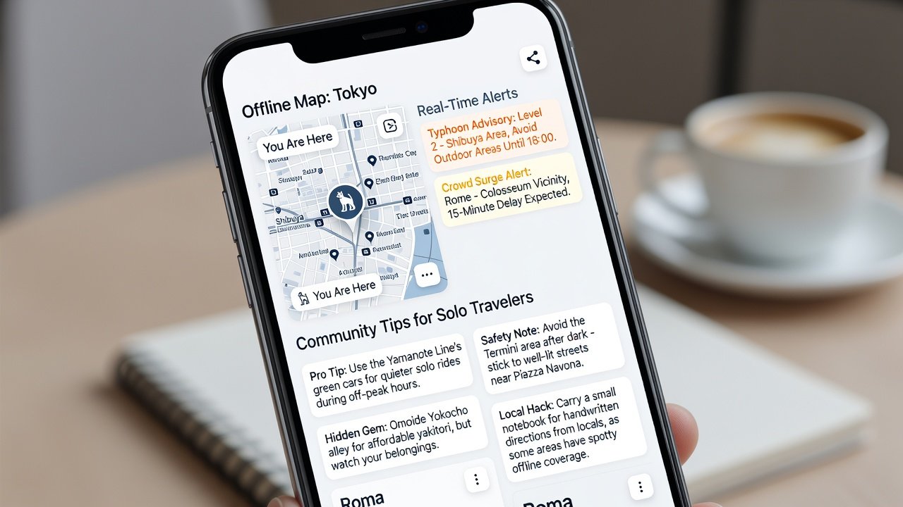
During high-traffic periods such as summer festivals in Europe or holiday rushes in Asia, apps with community reliability scores perform best because they incorporate real-time traveler feedback. Always cross-reference with official sources for accuracy and enable two-factor authentication where available to protect account data.
FAQ: Data Privacy and App Reliability
How do these apps handle personal data?
Most comply with GDPR in Europe and similar standards in Asia, but review permissions for location tracking and consider using anonymous modes when possible. Regularly audit shared data settings to maintain control over your digital footprint while traveling.
Are apps reliable during peak seasons?
Yes, with offline modes as backup; user reports indicate high uptime, though network congestion can occur in crowded venues. Downloading multiple map layers ahead of time ensures continued functionality even if servers slow down.
European Commission digital travel resources provide additional context on app standards and traveler rights across borders.
Conclusion
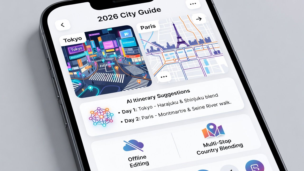
Selecting the right city guide app in 2026 empowers solo adventurers to travel confidently through Europe and Asia. By focusing on safety, offline access, and customization, travelers can create personalized, secure experiences that turn potential challenges into memorable adventures.
No comments yet. Be the first!