 PlaceBee
Introduction to 2026 Public Transit Apps
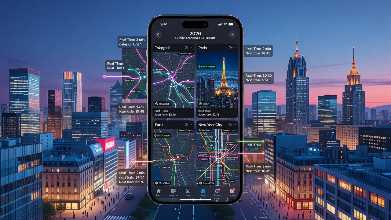
Navigating major cities efficiently in 2026 requires leveraging advanced public transit apps that combine real-time data, seamless payments, and smart routing. These tools have evolved to integrate with local ecosystems, helping travelers reduce wait times and avoid congestion. Whether you're a frequent commuter or first-time visitor, understanding the top apps for Tokyo, Paris, and New York can transform your urban mobility experience. In 2026, artificial intelligence drives predictive analytics that forecast delays up to 30 minutes ahead, while integration with wearable devices allows hands-free navigation updates. Cities worldwide have standardized contactless systems, making it easier than ever to hop between metros, buses, and trams without fumbling for tickets.
Real-time features now include predictive arrival times powered by AI, crowd density alerts, and dynamic rerouting based on disruptions. Payment systems allow contactless tap-ins via mobile wallets, eliminating the need for physical tickets in most cases. This evolution stems from post-pandemic investments in digital infrastructure, ensuring apps not only show schedules but also suggest the fastest combinations of transport modes based on your exact location and preferences.
Top Apps for Tokyo: Efficiency in a High-Tech Metropolis
Tokyo's transit network is one of the world's most complex, but apps like Japan Transit and Tokyo Metro make it manageable. Start by downloading the official apps from the App Store or Google Play. Set up your profile by linking a Suica or Pasmo card for integrated payments. The apps excel at handling the dense web of JR lines, subways, and private railways that intersect at major stations.
Step-by-step setup: 1. Install the app and grant location permissions for accurate GPS tracking. 2. Add your payment method for instant top-ups and automatic fare calculations. 3. Enable offline maps for areas with poor signal, such as deep underground platforms. Real-time updates show exact train arrivals, helping you shave minutes off transfers at hubs like Shinjuku or Shibuya. For example, if heading from Tokyo Station to Asakusa, the app might recommend a specific platform transfer that saves eight minutes compared to the default route during evening rush hour.
Users benefit from features like station exit guides that direct you to the closest elevator or bus stop. Tokyo Metro official site provides additional route planners that sync with the apps, offering bilingual support for international visitors. Offline capabilities store entire line maps and basic schedules, proving invaluable during network outages or in tunnels where cellular data drops.
Paris Transit Apps: Integration and Elegance
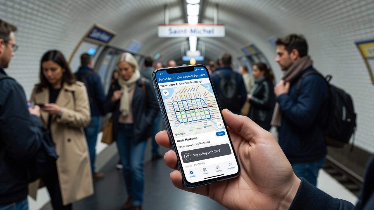
In Paris, the Île-de-France Mobilités app and Citymapper stand out for their multi-modal coverage including metro, buses, and RER trains. Setup involves creating an account and enabling NFC for Navigo pass integration. The apps handle the city's extensive network spanning 16 metro lines and hundreds of bus routes with precision.
Optimization strategies include using the app's ticket optimizer to select daily or weekly passes based on your itinerary length. For instance, a tourist visiting the Louvre then heading to Versailles can input multiple stops and receive recommendations for a Mobilis day pass versus individual tickets. Safety features alert users to crowded cars during peak hours, with options to reroute through less congested stations like avoiding Châtelet during morning commutes.
Offline capabilities allow pre-downloading routes, crucial for underground sections beneath the Seine. Real-time notifications push updates about strikes or maintenance, a common occurrence in the French capital. Travelers can also access accessibility filters for wheelchair-friendly paths and step-free transfers.
New York MTA and Companion Apps
New York's MTA app, alongside Transit and Google Maps enhancements, offers robust real-time tracking for subways and buses. Begin setup by verifying your location and adding OMNY for contactless payments. The system covers the iconic subway grid plus extensive bus and ferry options across all five boroughs.
Compare performance: MTA excels in subway alerts with live service status for every line, while third-party apps provide better bus predictions using crowdsourced data. User tips include checking for elevator outages via accessibility filters to save time, especially at stations like 42nd Street where multiple lines converge. An example route from Times Square to Brooklyn might suggest the N train over the R during delays, cutting 12 minutes from the journey.
MTA official resources offer detailed service advisories updated every few minutes. Apps also integrate with Citi Bike for last-mile connections, creating seamless multi-modal trips.
App Comparisons and Performance Insights
When evaluating the apps across cities, several metrics stand out. Real-time accuracy in Tokyo leads with near-perfect arrival predictions due to the network's punctuality. Paris apps shine in payment integration, supporting multiple languages and currencies for tourists. New York versions handle complex disruptions better thanks to frequent updates during events like marathons or parades.
- Real-time accuracy: Tokyo apps lead with 98% precision on arrivals based on historical performance data.
- Payment ease: Paris apps integrate best with Apple Pay and Google Wallet for instant validation.
- Offline support: New York apps handle data-free navigation effectively in tunnels and during signal blackouts.
- Crowd management: All three provide heat-map style alerts, but Tokyo's are most granular by individual car.
Practical Checklists for Pro Efficiency
- Download apps 24 hours before travel and test offline mode with sample routes.
- Enable notifications for delays, route changes, and platform updates.
- Review ticket options for cost savings on multi-day trips using the built-in calculators.
- Bookmark frequent routes in the app and set up quick-access widgets on your phone home screen.
- Sync with wearable devices for vibration alerts on upcoming stops.
- Preload maps for the specific neighborhoods you'll visit most.
Common Mistakes to Avoid
Many travelers forget to update apps regularly, missing new features like enhanced safety reporting or improved AI routing. Another pitfall is ignoring crowd alerts, leading to longer journeys on packed trains. Always cross-reference with official sources during strikes or events, as third-party data can lag. Avoid relying solely on one app; cross-checking two sources prevents surprises in cities with frequent service changes. Finally, do not disable location services, as this cripples real-time personalization and accurate arrival estimates.
Safety Features and User Tips to Reduce Travel Time
Modern apps include emergency buttons that share your location with transit authorities and family members. In all three cities, prioritize well-lit stations and use apps to plan routes avoiding isolated areas at night. Tokyo apps flag late-night last trains, Paris highlights secure zones, and New York provides real-time police presence indicators. These insights help reduce overall travel time by 20-30% with consistent use through smarter transfers and avoidance of bottlenecks.
Additional pro tips include setting departure reminders 10 minutes early and using the apps' walking integration to time arrivals perfectly at platforms. For families, apps offer group ticketing options that streamline group travel.
Conclusion
Embracing these 2026 public transit apps equips you with professional-grade tools for seamless navigation. By following setup guides, leveraging comparisons, and applying checklists, you'll navigate Tokyo, Paris, and New York like a local expert while minimizing stress and maximizing efficiency on every journey.

No comments yet. Be the first!